Geospatial Intelligence
Advanced GIS Intelligence for Infrastructure Development
Brightshift Renewables leverages advanced geospatial intelligence to evaluate land, power infrastructure, environmental constraints, and market conditions during the earliest stages of project development. Our GIS platform integrates multiple layers of infrastructure, regulatory, and environmental data to identify sites with the highest probability of successful development.
By combining spatial analytics with infrastructure expertise, Brightshift accelerates site evaluation, reduces development risk, and supports more informed investment decisions for energy and digital infrastructure projects.
Strategic Advantage
Data-Driven Site Intelligence
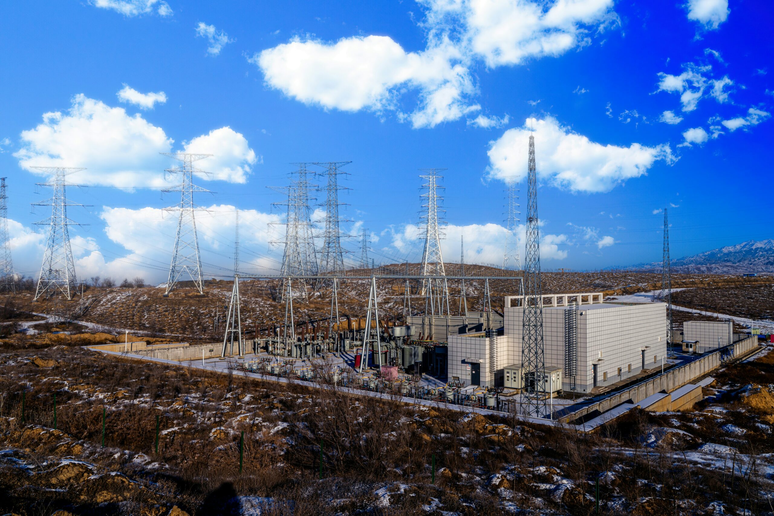
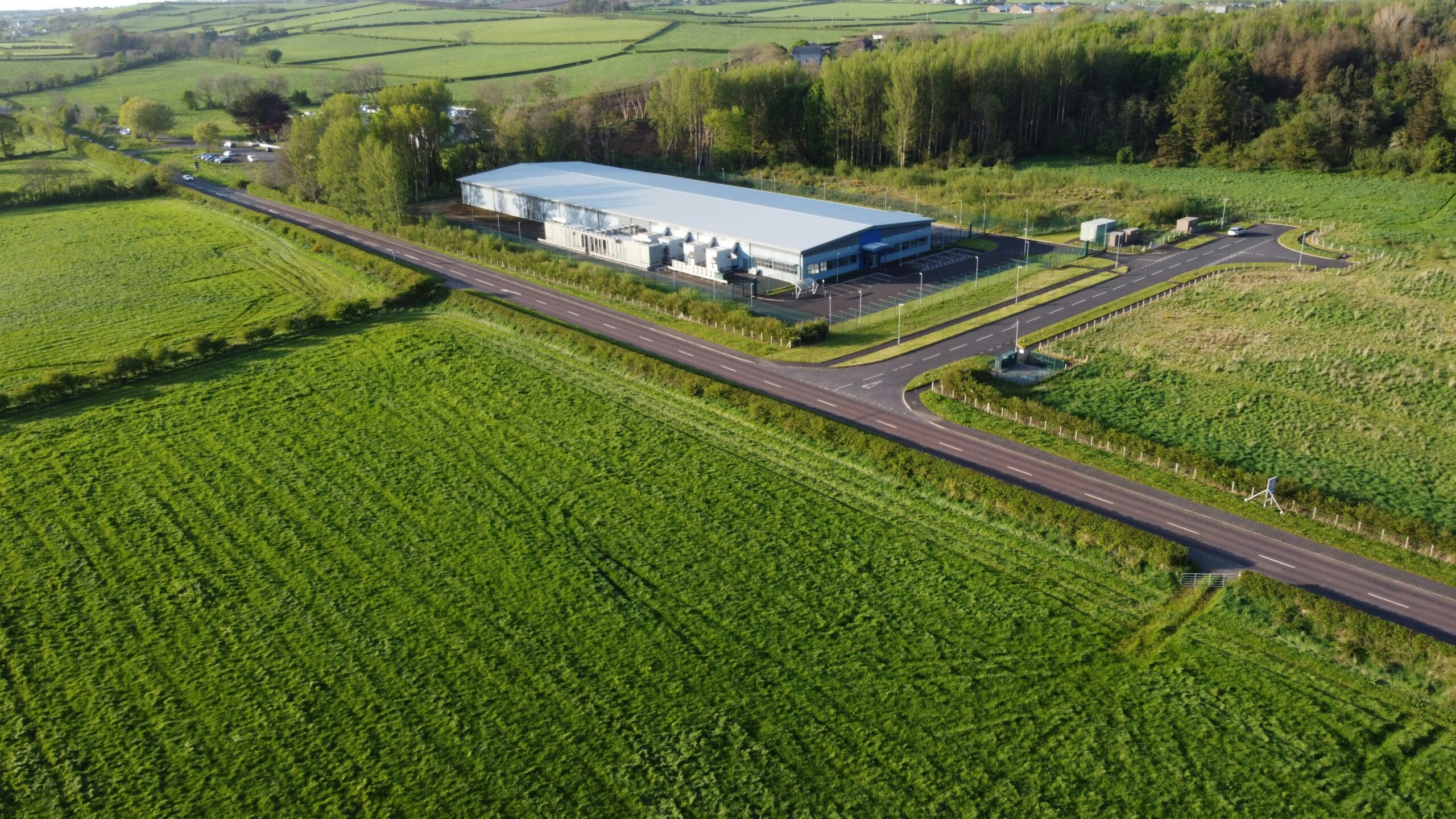
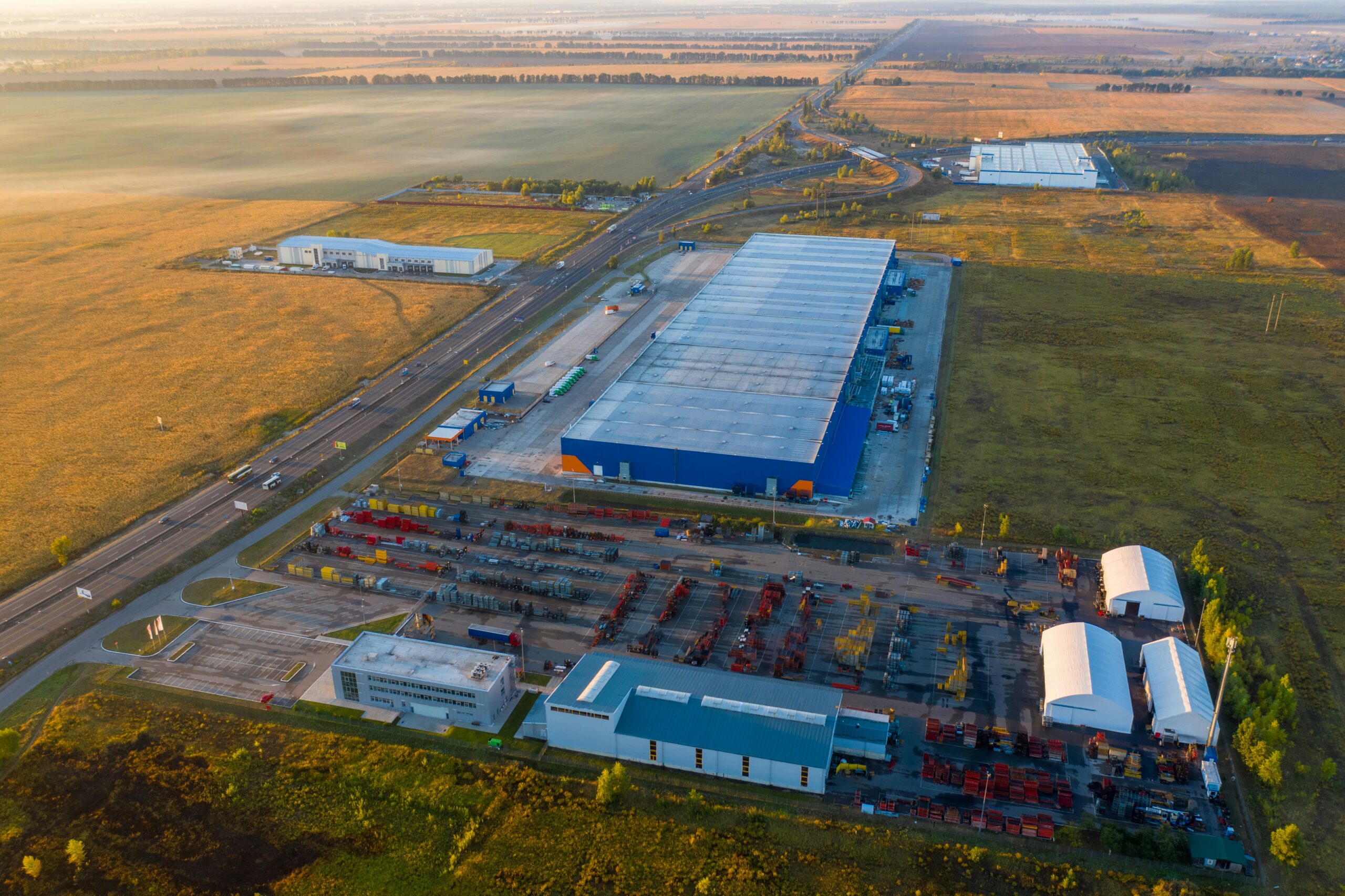
Infrastructure development requires far more than identifying available land. Successful projects depend on understanding power availability, transmission access, zoning restrictions, environmental conditions, and long-term infrastructure capacity.
Brightshift’s GIS platform integrates these factors into a comprehensive spatial analysis framework, allowing our team to identify high-value sites, eliminate fatal development constraints early, and prioritize locations capable of supporting scalable infrastructure.
GIS Capabilities
Comprehensive Infrastructure Analysis
Brightshift’s geospatial intelligence platform evaluates infrastructure, environmental, regulatory, and market conditions simultaneously to support efficient site selection and project development.
-
Parcel boundaries, ownership data, and zoning classifications
-
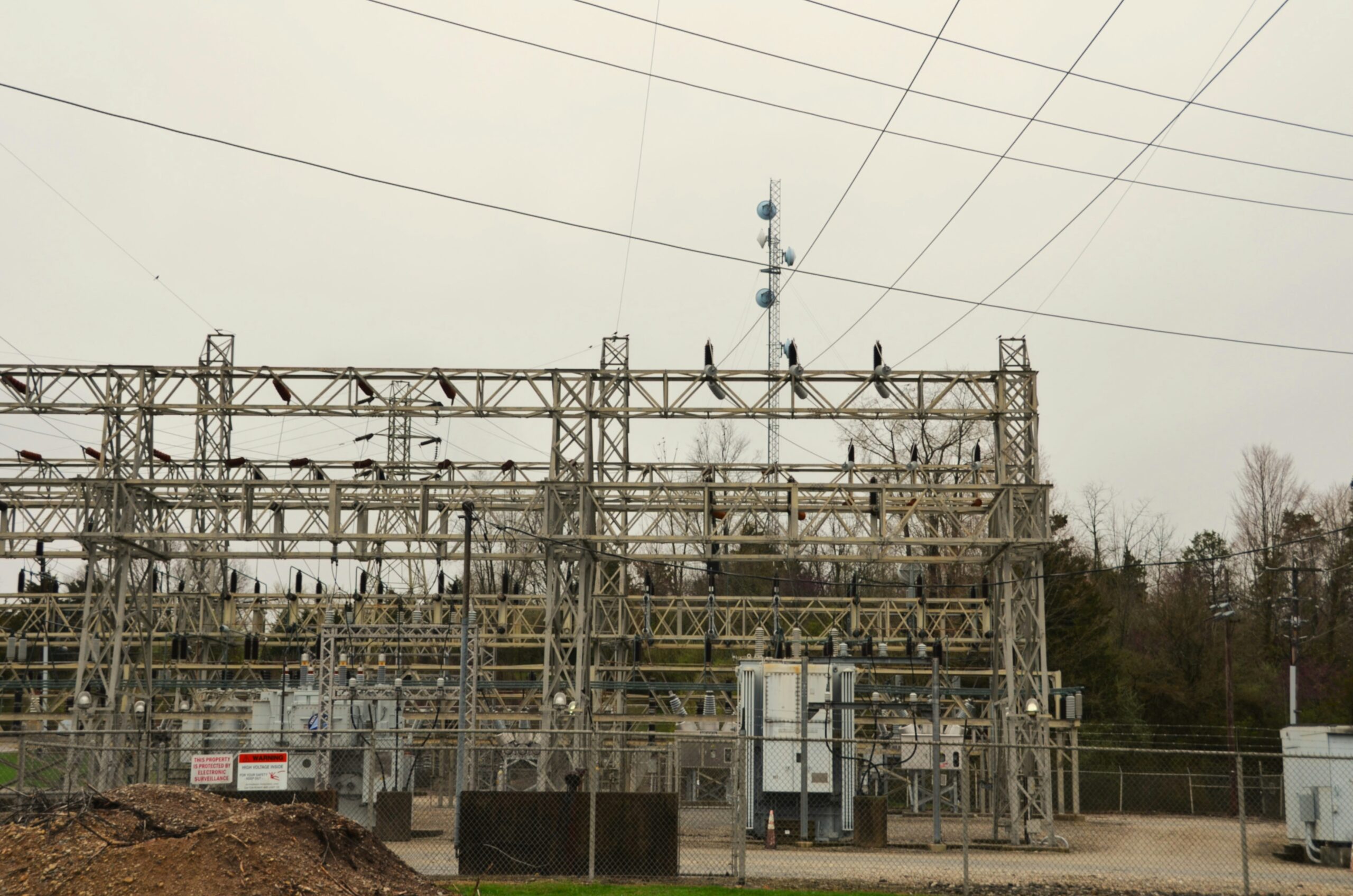
Transmission lines, substations, and grid infrastructure proximity
-
Renewable energy resource availability and feasibility
-
Environmental constraints including wetlands, flood zones, and protected areas
-
Transportation access including highways, rail, ports, and logistics routes
-
Utility service availability including power, water, sewer, and fiber connectivity
Site Evaluation
Multi-Criteria Site Screening
This analytical approach allows developers, investors, and infrastructure partners to prioritize projects that align with both operational requirements and investment objectives.
Development Intelligence
GIS Supporting Every Stage of Development
Our GIS platform supports infrastructure development throughout the entire project lifecycle, from early site identification to stakeholder engagement and permitting coordination. Geospatial analysis enables Brightshift to produce clear visualizations and technical documentation that support planning decisions, regulatory reviews, and investment evaluations.
– Site feasibility and constraint mapping
– Infrastructure planning and grid access analysis
– Permitting and regulatory support mapping
– Development site comparison and scoring
– Investor and stakeholder visualization tools
Infrastructure Intelligence
Smarter Infrastructure Development Starts with Data
Brightshift’s GIS intelligence platform enables a more disciplined and informed approach to infrastructure development. By integrating geospatial analytics with energy strategy and infrastructure planning, we identify opportunities that support scalable digital infrastructure and renewable energy development.